


The early taste of summer will be replaced by a taste of winter by Easter Sunday night, says Huddersfield weather expert Paul Stevens.
Temperatures topped 20C (68F) on Wednesday – more than double the March average and just a couple of degrees short of a March record high.
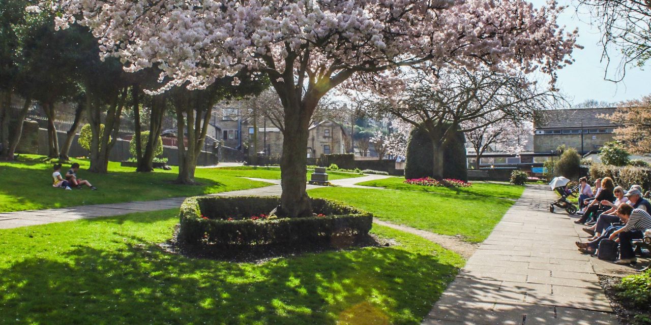
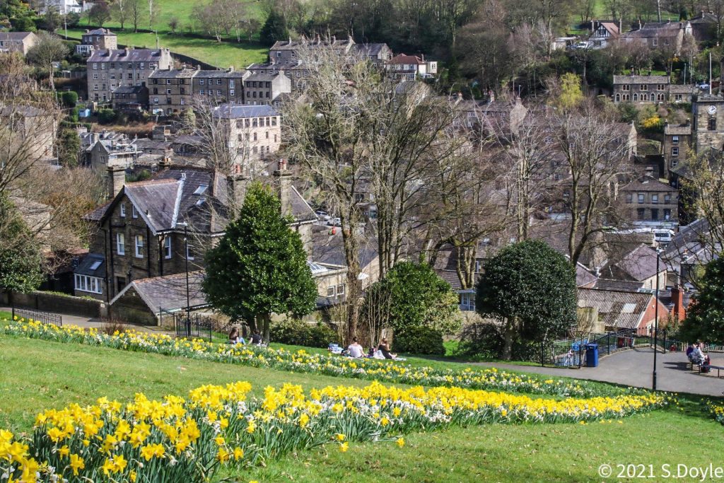
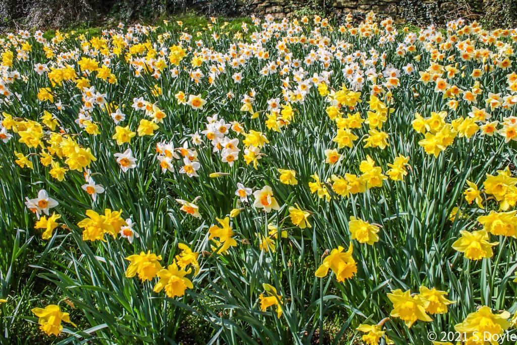
In the week that the ‘stay home’ lockdown message was replaced with ‘stay local’ people flocked to parks and into the countryside.
But the two-day mini heatwave is over with cloudy conditions and drizzle replacing the sunshine on Thursday, bringing temperatures down to around 9C (48F).
Salendine Nook-based Paul says Good Friday and Easter Saturday, though, will be dry and sunny with temperatures at or just above 10C (50F). Friday, in particular, will be a “lovely day,” he said.
Easter Sunday morning will start off bright and sunny but cloud will build in the afternoon. Rain will come down from the north on an Arctic cold front and there could be wintry showers by the end of the day.
Things turn decidedly wintry on Easter Monday as temperatures plunge back to 4C or 5C with the threat of hail, sleet or snow showers. It will feel “bitter” in a strengthening 40mph wind.
Paul also warns there could be a slight covering of snow on the hills. Next week also starts on a cold note so winter isn’t finished quite yet…Happy Easter!