
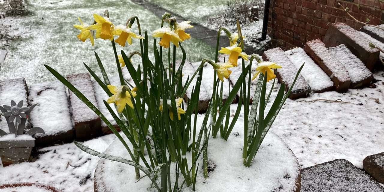

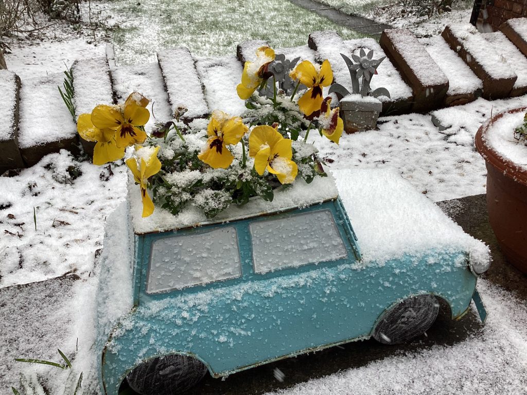
An amber warning for snow has been issued by the Met Office and Huddersfield could wake up to a white out on Friday morning.
That’s the forecast from Salendine Nook-based weather expert Paul Stevens who is predicting a general 10cm-15cm blanket of snow come Friday morning.
Overnight on Thursday Paul expects gale force winds of 35-40mph which will create blizzard conditions and drifting.
On the hills around Huddersfield there could be 30cm-50cm of snow, which will cause severe disruption.
“It’s been difficult to forecast exactly where the snow will fall all this week and it’s only as we get closer that we can forecast with any confidence,” said Paul. “All the models are now making the same predictions and we’re in for a three-day icy blast.”
Paul said rain on Thursday morning will turn to snow and become heavier into the early evening and overnight.
“Friday will be a cold day and then Saturday will be a change-over day,” he said. “Milder conditions will move in through Sunday and into Monday and we’re looking at rain early next week.”
Paul said significant snow in March isn’t unusual and said there was a similar snow event in Huddersfield exactly 10 years ago when dozens of schools were closed, roads were shut and cars were buried in drifts on higher ground.
Paul added: “This winter has been one of extremes. We had the bitter cold with -5C in December, followed by double the normal rainfall in January and then an exceptionally dry February when we hardly had any rain at all.
“These extremes all fit with what we expect with climate change. Our summers seem to extend into September or early October and our winters last into March.”